Trip report #2: Day 3 through Day 5
[Category: 100 Mile Wilderness] [link] [Date: 2010-07-04 15:46:35]
Day 3: Friday, June 18 (Cloud Pond Leanto to West Chairback Pond) 5.2mi (+0.3mi)
It was a chilly, windy night at Cloud Pond Leanto and Zach described his struggle to sleep the following morning over breakfast. He had opted to leave behind a sleeping bag to save weight and experienced a chilling breeze all night while exposed in the windward facing shelter. We had woken up around 7AM and I immediately set to work filtering water, packing up gear, and eating breakfast. My mind was hard set on making miles and I was aiming for the cleanest start possible. Zach had considerable difficulty the day before and had spent a night exposed to the elements and I could see that his physical condition had not improved. What I had attributed to general tiredness was looking more and more like serious fatigue. It was now that I began to worry about his condition. Much to his credit, he went through his morning routine and we set out at our earliest time yet after saying goodbye to James.
After making our way back up the winding side trail that led to Cloud Pond Leanto we once again set off northward on the Appalachian Trail. While there was no downpour overnight, the rocks and roots were still glossed over with moss and morning moisture. After no more than twenty minutes of hiking I heard a body hit the ground and plants rustle followed by a scream and reversed my direction until I found Zach who had taken a fall while moving down a cluster of jagged bedrock. He scraped his leg and was shaken up but had miraculously avoided serious injury. Exposed branches were only inches from critical points on his body. Later in the day he pulled out a sharp stick which had punctured his backpack only inches behind his head. This was not a positive start to the day and the rest of the day was a pair of struggles up Fourth Mountain (2,383ft) and Third Mountain (2,061ft). As Zach summited Fourth Mountain he was shivering in a cold sweat and even the rich, creamy taste of Gouda cheese was not enough to re-energize him. I can only imagine the struggle (both mental and physical) that he was experiencing at this point. His condition was worsening, we still had the White Cap Range to cross, and a trip that had been planned for over three months was slipping away. The only option he had was to continue. There was no easy way out at this point along the trail and the nearest emergency extraction point was outside of the Barren-Chairback Range.
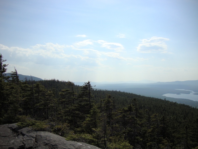 View from the ledge near the summit of Fourth Mountain
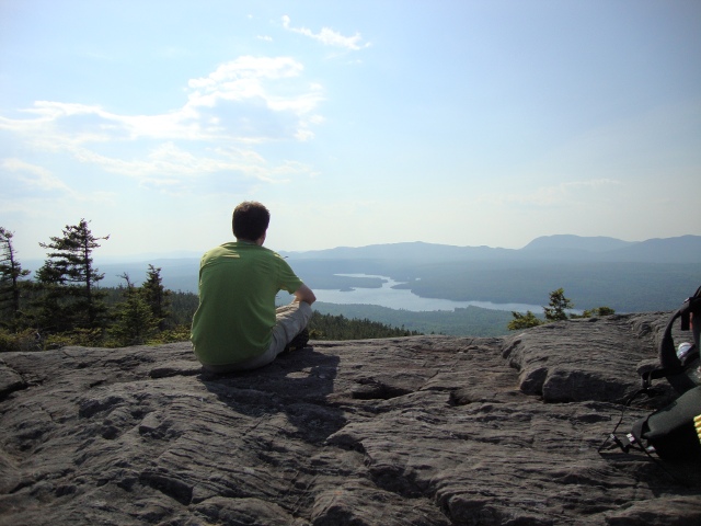 The trekking pole I borrowed from Zach had a monopod camera mount
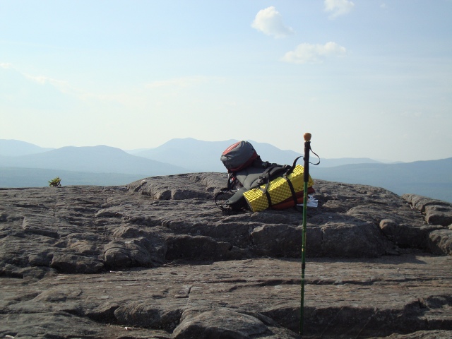 Getting a bit artsy with the camera
 As I arrived at the side trail that led to West Chairback Pond I left my pack and began to filter water from West Chairback Stream while waiting for Zach to arrive. At this point, I had the sense that Zach could go no further. We ended up finding a few quaint looking tent sites only a few hundred yards from the pond and set up camp for the night. Zach gave himself an ultimatum before turning in for the night. He resolved to drink a few liters of water, eat the largest dinner he could handle, and sleep without restrictions. If his condition had not improved dramatically by the morning then we would have to start exploring extraction options. I provided him with an antihistamine in hopes that it would assist him in sleeping soundly.
There was plenty of time in the evening due to our early stop and I spent the rest of the evening cleaning gear, eating dinner, tending to my feet after a long soak in the pond, and going over maps. West Chairback Pond was a popular fishing destination and there were fisherman on the lake who walked past our tent sites (Fosters beer cans in hand, of course) as the sun set. They wished me luck after saying they would be back in the morning to continue fishing. I spent the rest of the evening considering possible scenarios for the next day. If Zach felt well enough to continue, what would our mileage goal be for the day? We were falling behind schedule drastically and it was a serious supply concern for me. Conversely, I had to accept the reality that Zach may have to end his trip prematurely. I never had any doubt about my own continuation, but I had to consider Zach's safety and if that meant taking responsibility for contacting someone for extraction and helping him get to the extraction point then I would have to invest a day or two assisting him. I went to sleep feeling uneasy about the future and the lack of control I had of it.
Day 4: Saturday, June 19 (West Chairback Pond to Carl A. Newhall Leanto) 11.6mi
While being as quiet as possible, my early morning rise of 5:30AM left me with quite a bit of time to once again tend to my feet and gear. I re-assessed my packing strategy since the volume of food I was carrying had changed measurably. My curiosity about Zach's condition went unsatisfied for around an hour and a half until he stumbled out of his tent. He looked markedly more pale and weak than he had been the previous day and described a night of vivid dreams and drenching sweat. Something was clearly not right and it was at this point that we both made a mutual decision that his continuation of the trail posed a considerable risk to his health. Hiking the trail while healthy is difficult enough, the added pressure of dealing with feelings of sickness is a lot to deal with at once. At this point he had been at odds against a body that felt as if it was run over by a truck for two days.
The fisherman who I met the previous night made true to their word and returned in the morning. After discussing extraction points with Zach, we decided consulting the local fisherman would be a wise maneuver. A sharp yell across the pond garnered the attention of four fisherman who, after paddling over in their metal canoes, kindly offered to take Zach out to a gatehouse where he could call Shaw's for an extraction. With this settled I knew the remaining 72 miles of the hike would be a solo hike. I made sure to filter some extra water to leave with Zach since we had no idea when the fisherman would break for the afternoon or for the day. I left him alone after he managed to break down camp and watched as he force-fed himself some pop-tarts for breakfast. We said goodbye and wished each other good luck.
While studying the maps the previous night I saw that hiking to Sydney Tappan Campsite would give me the best possible position to tackle the White Cap Range. After passing by Chairback Gap Leanto where I met a ragged looking man in his early thirties who spoke nothing but complaints about the water, bugs, and his lack of food, I began the descent out of the Barren-Chairback range which involved a few challenging boulder field traverses. Knowing that I was now alone caused me to adopt a much more careful approach to descents at the expense of speed and time. The trail leveled off and I knew I was approaching the West Branch of the Pleasant River. This river requires a ford but it is extremely easy and enjoyable. My feet appreciated the chance to breathe in the middle of the day and I rewarded them with another soaking and an extended lunch break after fording the river. I was glad to finally be looking at the second of three maps that would be required for this hike.
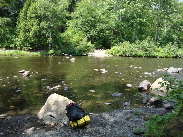 The West Branch of the Pleasant River (an easy ford)
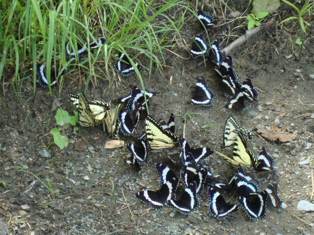 There were lots of butterflies near the river
 The trail at this location is the primary access route to the Gulf Hagas region which is known for its beautiful scenery which consists of multitudes of streams and tight canyons. While I hiked past locals heading to Gulf Hagas for a day hike wearing sandals I received numerous stares. At this point of the hike I'm sure I already had acquired a relatively grizzly appearance and a rugged demeanor.
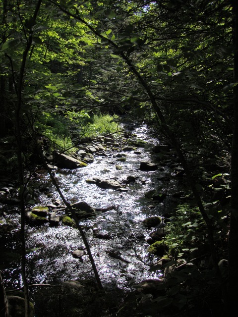 A beautiful looking Gulf Hagas Stream from the trail
 After crossing the West Branch of the Pleasant River, the trail begins a gradual ascent toward White Cap Mountain. It is certainly not steep, but miles and miles of constant uphill imposes a similar physical toll. Despite the difficulty, my stamina held strong and my endurance surprised me. I was passed by a few northbound hikers who were too occupied with trying to make time to stop for a meaningful conversation. I could see their packs were obviously half the size of my own. There were numerous beautiful views of Gulf Hagas Stream since the trail parallels it all the way up to Carl A. Newhall Leanto. I arrived at the leanto with over two hours of daylight remaining and decided to take a break and consider my options. My original intentions were to push on to Sydney Tappan Campsite, and I surely had the energy to do so. As I relaxed by the stream I began to notice signs that inclement weather was imminent. Carl A. Newhall Leanto was clean, bug free, unoccupied, and had an amazing water source nearby. Most importantly, it would give me adequate protection against any rain or storms that blew through overnight. I decided to take the safe option and stay at the leanto.
Deciding to stay was a wise decision. I had a lot of time to relax before attempting the largest climb of the hike and I was alone for the first time in a shelter while in the wilderness. After a double serving of macaroni and cheese I spent the rest of the evening watching rodents attempt to gain access to my food bag. There was also a large rabbit who was feeding on a nearby tree stump. I decided that tomorrow would be a make-or-break day for me. I knew I had to summit White Cap Mountain and numerous other peaks and that these were the last difficult climbs before the trail flattened out in the low-lying lake country. I went to sleep in the shelter with the inner wall of my Hubba HP setup with the side open. After an hour I heard the rain begin pattering on the roof of the shelter, zipped up the tent and fell back asleep.
Day 5: Sunday June 20 (Carl A. Newhall Leanto to Cooper Brook Falls Leanto) 18.9mi
My desire to be in the best condition possible for the difficult task of climbing over the entire White Cap Range led me to sleep until 7:30AM and take extra time in the morning before departing. To my surprise, many of the ascents and descents of the peaks in the White Cap Range had sections of stone stairs. These were a welcomed dose of assistance that were nonexistent in the Barren-Chairback range. I only met two hikers until the summit of White Cap Mountain. It was an older man and a seemingly young woman with a German shepherd. The first peak I had to tackle was Gulf Hagas Mountain (2,683ft) which was a steep but manageable climb. After descending into the gap between Gulf Hagas Mountain and West Peak I passed through Sydney Tappan Campsite. I was once again glad that I had chosen to stay at Carl A. Newhall Leanto the previous night. The campsites were a mess and the water source was of disturbingly poor quality.
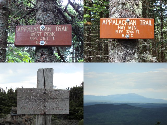 Some of the peaks that must be crossed to gain access to White Cap Mountain
 Before gaining access to White Cap Mountain it is necessary to climb West Peak (3,178ft) and Hay Peak (3,244ft). Both of these peaks are wooded summits with minimal views of the surroundings. Its almost as if something is being hidden from you as you close in on the open peak of White Cap Mountain. I was rained on sporadically during the morning while I grew closer to the summit of White Cap Mountain but there was a clearing in the weather just as I reached the summit (3,654ft) which provided me with limited but spectacular views. There were two other hikers who were resting and enjoying the cool breeze blowing in. We explored the summit as a group and managed to locate the weather station that I had spotted from the air when we flew over five days ago. I managed to send a few texts out to my family and to Zach to let them know that I was alright, but I didn't receive any texts back until days later.
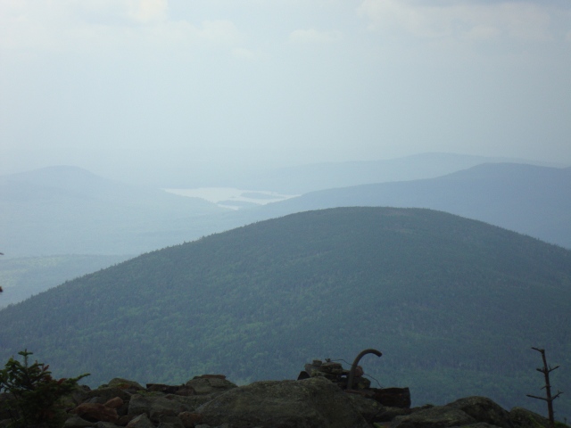 One of the only clear views I received upon reaching the summit of White Cap Mountain
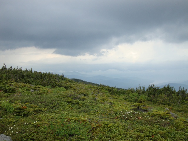 I love how the landscape and vegetation changes with altitude
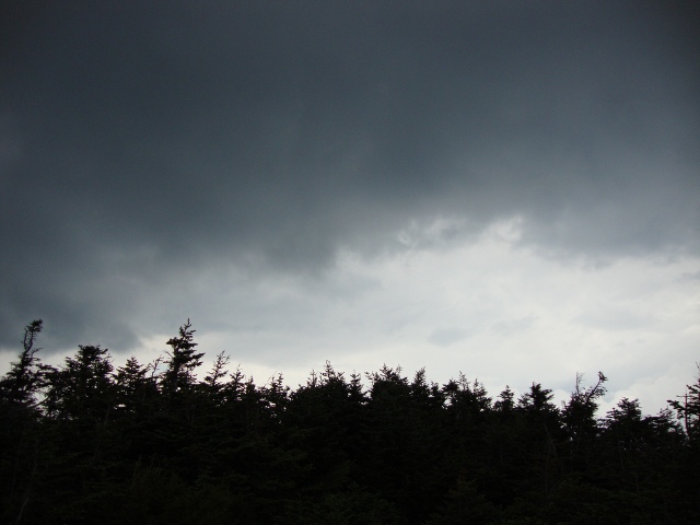 The storm was certainly ominous
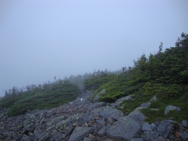 Views from the summit were hampered after the storm blew in
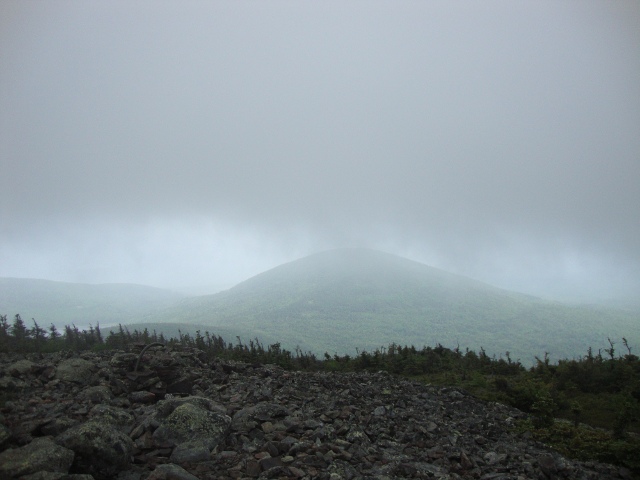 Looking beneath the storm clouds
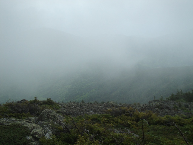 Looking down into a valley while walking down the treeless summit of White Cap Mountain
 Views of Katahdin were nonexistent due to the inclement weather and the small clearing of rain quickly disappeared as a storm blew in. Experiencing a storm while on an exposed summit was a combination of frightening and inspiring. The other hikers sought refuge by continuing down to the wooded slopes of West Peak while I had a half mile hike on the exposed face of White Cap Mountain as the storm blew in. I continued to rest after putting on my Whitaker Mountaineering Storm Shell which provided protection from the wind and rain but the temperature soon plummeted and my hands began to become quite cool. I decided that it was time to leave, and my descent led me through different layers of the storm as I lost altitude. At one point, the weather cleared briefly and I could see Katahdin looming far off in the distance for the first time on the hike.
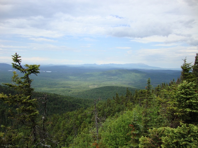 The weather cleared and I received my first proper glimpse of Katahdin
 Revitalized by my success so early in the day (it was not even 1PM yet), I hastily descended until I found myself at Logan Brook Leanto which was already packed with hikers. They all knew each other and it was the most motley crew I encountered during my entire hike. There was a Rastafarian (dreadlocks and all), a German woman in her 60's, an older man with an epic beard who was cooking in a homemade Heineken pot, and another older man who had a decidedly redneck-looking appearance which was reinforced by his large hiking staff that sported an American flag tied to the top. From the limited conversation that I heard I deduced that the group was leanto hopping together. The trail can change the way many people interact and I often find that many barriers are torn down after a few days of mutual hardship. It was not but 3:30PM and the group was calling it a day. I suppose that it would have been unrealistic for them to cross the White Cap Range so late in the day in inclement weather, but one would assume that they would have timed their days a bit more conveniently.
East Branch Leanto was my goal for the day and I, once again, made it there at breakneck speed. While I was relaxing I formulated a plan fueled by my ego which had grown due to my success throughout the day. I still had over two hours of daylight left and at least an hour of twilight. If I could make it to Cooper Brook Falls Leanto tonight I had the chance of making it to White House Landing (WHL) for an early dinner and a proper nights sleep the next day. I couldn't help myself and decided to push on. I encountered difficulty as my speed suffered immensely when I had to, once again, summit a mountain. While small, I had been worn down by the previous peaks and Little Boardman Mountain (2,017ft) posed a formidable challenge for my sore calves and blistered feet. Views of the sun setting over numerous ponds and lakes lined the trail down to Cooper Brook Falls Leanto and made some of the difficulty of the last bit of the day worth the effort. The final push wrecked my feet and I never fully recovered from the blisters that were created on this extremely challenging and lengthy day.
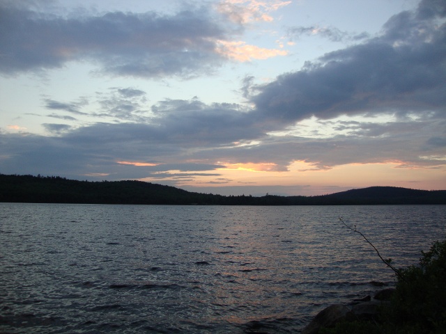 One of the benefits of hiking in the evening is the chance to witness beautiful sunsets
 I was in terrible shape as I arrived at Cooper Brook Falls leanto. I had to hike in the dark for around 45 minutes and was worried I would miss the sign pointing out the leanto. I had completed a 19 mile day involving five summits and my feet were the primary sufferers. There was an older woman already asleep and I attempted to be as covert as possible about my setup and dinner preparations. I now believe that the woman was the infamous "Mother Goose" who was the first woman to complete a yo-yo which is a dual thru-hike that alternates direction. I never got to see her or talk to her as she was gone by 5:30AM the following morning. The feeling of knowing that I was deep into the second map of the hike and would soon be entering the last map was a reward in itself. As I went to sleep, my thoughts were occupied by the attraction of a proper hot meal at WHL and I was glad to know that I had set myself up within striking distance.